|
|
|
|
| LEADER |
01144nam a2200325Ia 4500 |
| 008 |
190329s9999 xx 00 und d |
| 034 |
|
|
|g -20.609
|d -40.723
|
| 100 |
|
|
|a SEGATTO, Rafael
|
| 245 |
|
|
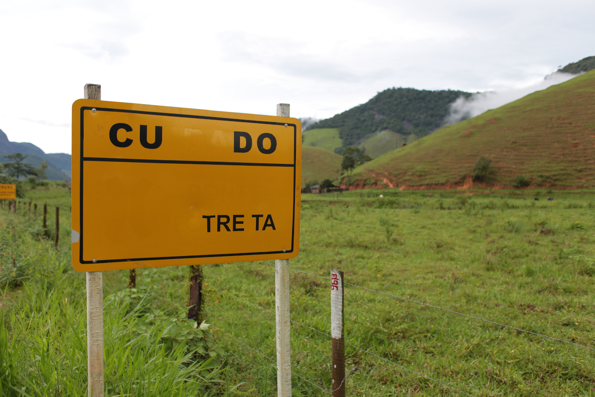
|a Placas depredadas, município de Alfredo Chaves - Projeto Caminhos do Campo
|
| 500 |
|
|
|a Comunidade: Caco de Pote
|
| 500 |
|
|
|a Coordenada X: 320400. Coordenada Y: 7720215.
|
| 500 |
|
|
|a Data e hora da foto: 13/12/2016 15h30
|
| 500 |
|
|
|a Macrorregião Estadual: Sul
|
| 500 |
|
|
|a Microrregião Estadual: Litoral Sul
|
| 500 |
|
|
|a Município: Alfredo Chaves
|
| 500 |
|
|
|a Trecho: Sede - Sagrada Família
|
| 650 |
|
|
|a ALFREDO CHAVES-ES
|
| 650 |
|
|
|a CACO DE POTE-ALFREDO CHAVES-ES
|
| 650 |
|
|
|a DEPREDAÇÃO
|
| 650 |
|
|
|a MACRORREGIÃO SUL
|
| 650 |
|
|
|a MICRORREGIÃO LITORAL SUL
|
| 650 |
|
|
|a PLACA
|
| 650 |
|
|
|a PROJETO CAMINHOS DO CAMPO
|
| 650 |
|
|
|a RELEVO
|
| 650 |
|
|
|a SINALIZAÇÃO
|
| 650 |
|
|
|a VEGETAÇÃO
|
| 856 |
|
|
|u /ConteudoDigital/RS_IMG_0338.JPG
|
| 942 |
|
|
|c IM
|
| 952 |
|
|
|0 0
|1 0
|3 Foto Digital
|4 0
|7 0
|9 355983
|a BIBLIO
|b BIBLIO
|c Imagem | F011312
|d 2019-03-29
|l 0
|r 2019-03-29 00:00:00
|w 2019-03-29
|y IM
|
| 999 |
|
|
|c 351530
|d 351530
|
