|
|
|
|
| LEADER |
01075nam a2200325Ia 4500 |
| 008 |
190329s9999 xx 00 und d |
| 034 |
|
|
|g -20.591
|d -41.555
|
| 100 |
|
|
|a SEGATTO, Rafael
|
| 245 |
|
|
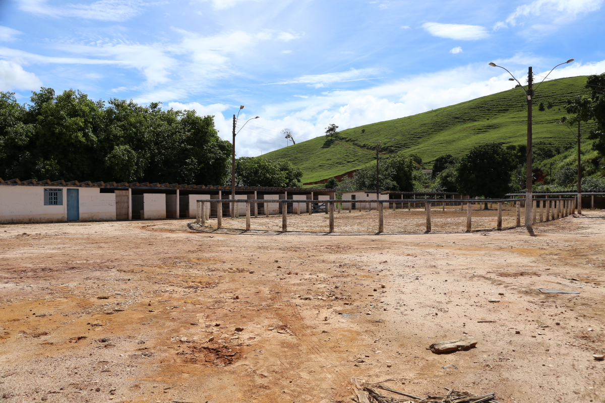
|a Haras desativado, município de Alegre - Projeto Caminhos do Campo
|
| 500 |
|
|
|a Comunidade: Araraí
|
| 500 |
|
|
|a Coordenada X: 233649. Coordenada Y: 7720989.
|
| 500 |
|
|
|a Data e hora da foto: 22/02/2017 10:53
|
| 500 |
|
|
|a Macrorregião Estadual: Sul
|
| 500 |
|
|
|a Microrregião Estadual: Caparaó
|
| 500 |
|
|
|a Município: Alegre
|
| 500 |
|
|
|a Trecho: ES-181 - Araraí
|
| 650 |
|
|
|a ALEGRE-ES
|
| 650 |
|
|
|a ARARAÍ-ALEGRE-ES
|
| 650 |
|
|
|a ESTÁBULO
|
| 650 |
|
|
|a ESTRUTURA
|
| 650 |
|
|
|a HARAS
|
| 650 |
|
|
|a MACRORREGIÃO SUL
|
| 650 |
|
|
|a MICRORREGIÃO CAPARAÓ
|
| 650 |
|
|
|a PASTO
|
| 650 |
|
|
|a PROJETO CAMINHOS DO CAMPO
|
| 650 |
|
|
|a RELEVO
|
| 856 |
|
|
|u /ConteudoDigital/RS_IMG_2651.JPG
|
| 942 |
|
|
|c IM
|
| 952 |
|
|
|0 0
|1 0
|3 Foto Digital
|4 0
|7 0
|9 357032
|a BIBLIO
|b BIBLIO
|c Imagem | F012361
|d 2019-03-29
|l 0
|r 2019-03-29 00:00:00
|w 2019-03-29
|y IM
|
| 999 |
|
|
|c 352579
|d 352579
|
